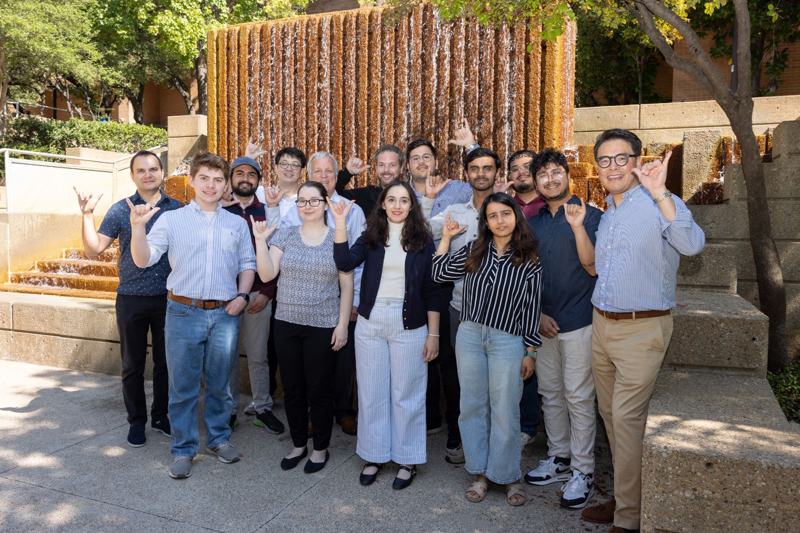
The University of Texas at Arlington’s Water Engineering Research Center—known as WERC—is leading a new project that utilizes satellite imagery and advanced computing to enhance the understanding and preparedness of Texas communities for natural disasters, including floods, oil spills and coastal land subsidence.
The effort, funded by the Texas Water Development Board (TWDB), leverages NASA’s remote sensing data and satellite imagery to rapidly capture damage from recent or historic floods and assess risks along the state’s extensive coastline. By combining remote sensing information with artificial intelligence and machine learning, the team will provide critical insights to the state for managing water resources and planning for emergencies.
“Data is very important,” said Nick Fang, WERC director and professor in the Department of Civil Engineering at UTA. “Our role is to provide reliable information to the state so leaders can make sound decisions for emergency operations with long-term planning.”
The research also examines how remote sensing can monitor coastal land subsidence—the gradual lowering of the land surface—which can exacerbate flooding risks for Texas coastal communities. Other applications include monitoring oil spills and measuring lake evaporation.
Related: UTA’s WERC sets the standard for water research
Remote sensing technologies have advanced rapidly in the past decade, said Daniel Li, WERC researcher and assistant professor of research in the Department of Civil Engineering.

“While some of these technologies have been around since the 1960s, today’s computing power allows us to use them in many ways that were unimaginable before,” Dr. Li said. The state wants the best available tools, and we are helping modernize how these data are used for future planning.”
Team members stressed that satellite imagery allows scientists to assess flooding on a large scale more quickly and efficiently than traditional methods. By applying AI algorithms, researchers can filter out obstacles such as cloud cover and rapidly convert raw images into geospatial data that emergency managers can use to allocate resources or model future scenarios.
“It’s an honor to be part of projects that ultimately improve flood science,” said Matt Lepinski, WERC assistant program director. “If we can provide better data that reduces the loss of life and property during disasters, that’s a huge win for communities across Texas.”
Related: UTA expert urges overhaul of flood warning system
Working alongside WERC will be Adnan Rajib, assistant professor in the Department of Civil Engineering and director of the Hydrology & Hydroinformatics Innovation (H2I) Lab.
“Remote sensing data gives the Texas Water Development Board a powerful lens to see what’s happening across the state in real time—from tracking floodwaters and oil spills to monitoring ground subsidence,” Dr. Rajib said. “These insights help us respond faster, plan smarter, and protect communities more effectively.”
The initiative is supported by the Texas Advanced Computing Center (TACC), which provides the big-data infrastructure needed for satellite image processing. Graduate and undergraduate researchers at UTA are also contributing to the project.
“This is one piece of the puzzle in addressing Texas’ water challenges,” Fang said. “At WERC, we tackle both extremes—when water is too scarce and when it’s too abundant. Our mission is to work with federal, state and local partners to find solutions that keep communities safe and resilient.”
About The University of Texas at Arlington (UTA)
Celebrating its 130th anniversary in 2025, The University of Texas at Arlington is a growing public research university in the heart of the thriving Dallas-Fort Worth metroplex. With a student body of over 42,700, UTA is the second-largest institution in the University of Texas System, offering more than 180 undergraduate and graduate degree programs. Recognized as a Carnegie R-1 university, UTA stands among the nation’s top 5% of institutions for research activity. UTA and its 280,000 alumni generate an annual economic impact of $28.8 billion for the state. The University has received the Innovation and Economic Prosperity designation from the Association of Public and Land Grant Universities and has earned recognition for its focus on student access and success, considered key drivers to economic growth and social progress for North Texas and beyond.


