Remote Sensing Analysis Tool Now Freely Available
OceanWise has announced that, as of 1 November 2021, the RSOBIA toolbar is available free of charge. The software tool, which takes raster imagery and segments the data into geographic areas with similar statistical properties, has been particularly successful in supporting those working in research, development and education.
The tool’s creator Tim Le Bas and OceanWise, who have thoroughly enjoyed collaborating over the last few years on the sale of the tool, have decided that, while it will still be available and maintained, the tool will longer be sold as a commercial product. Instead, Tim Le Bas will maintain and support the tool himself and offer free licences to those who request one.
Tim Le Bas commented: “I would like more people to have access to the tools, so removing all costs should allow new users to trial the tools and see how they can help their data processing and interpretation.”
Remote Sensing Object-based Image Analysis
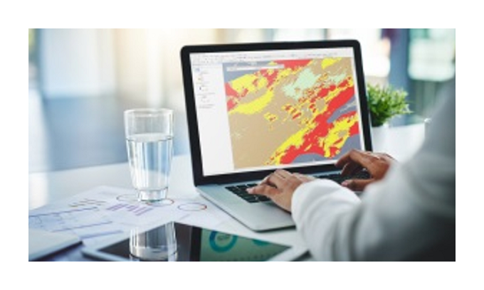
Remote Sensing Object-based Image Analysis or ‘RSOBIA’ is a software tool for Esri ArcMap, which interprets and digitizes the areas and boundaries seen in imagery (such as sidescan sonar and multibeam backscatter) and creates a polygonized map of the results (e.g. areas of similar seafloor type). It supports segmentation and classification – key techniques for image analysis – and gives quick, easy, repeatable results.
OceanWise will no longer be involved in the sale or support of the RSOBIA tool. As it will be a free tool, its distribution and maintenance will now be looked after solely by Tim Le Bas, the tool’s creator. “We have loved being involved with the tool and hope to work with Tim in the future on other projects. OceanWise will of course support its existing customers with any transition required and resolve any outstanding queries,” the company states.
The tool’s creator Tim Le Bas and OceanWise, who have thoroughly enjoyed collaborating over the last few years on the sale of the tool, have decided that, while it will still be available and maintained, the tool will longer be sold as a commercial product. Instead, Tim Le Bas will maintain and support the tool himself and offer free licences to those who request one.
Tim Le Bas commented: “I would like more people to have access to the tools, so removing all costs should allow new users to trial the tools and see how they can help their data processing and interpretation.”
Remote Sensing Object-based Image Analysis
Remote Sensing Object-based Image Analysis or ‘RSOBIA’ is a software tool for Esri ArcMap, which interprets and digitizes the areas and boundaries seen in imagery (such as sidescan sonar and multibeam backscatter) and creates a polygonized map of the results (e.g. areas of similar seafloor type). It supports segmentation and classification – key techniques for image analysis – and gives quick, easy, repeatable results.
OceanWise will no longer be involved in the sale or support of the RSOBIA tool. As it will be a free tool, its distribution and maintenance will now be looked after solely by Tim Le Bas, the tool’s creator. “We have loved being involved with the tool and hope to work with Tim in the future on other projects. OceanWise will of course support its existing customers with any transition required and resolve any outstanding queries,” the company states.
www.hydro-international.com