Skip to content
A4 civilengineering
  • Home
  • About Us
  • Education
  • Community
  • Thought
  • Ongoing Happenings
  • Contact Us
Menu Close

Blog

  1. Home>
  2. Environmental>
  3. Geospatial Data as a Vital Tool for Protecting Planet Earth
Geospatial Data as a Vital Tool for Protecting Planet Earth
This specially selected series of articles illustrates how geomatics plays a key role in protecting and preserving the environment. Geospatial data forms an important part of the toolkit of researchers and other experts involved in nature conservation. Check out these examples of how geomatics techniques have been applied in practice around the world.

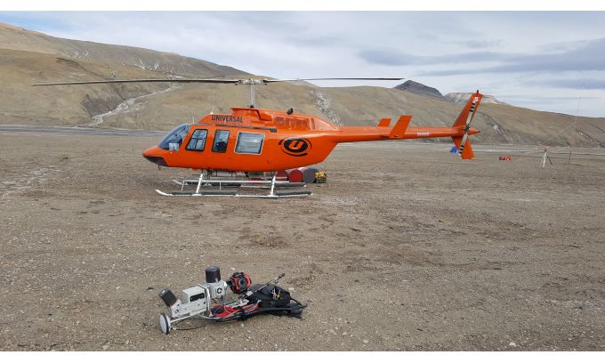
Creating a Digital Twin of the Earth
An unprecedented scientific effort to Lidar-scan the entire surface of the Earth before it’s too late… that’s how Christopher Fisher, the founder of the Earth Archive, describes his initiative. He started the Earth Archive based on his experience of using remote sensing technologies in Mexico and Honduras. His aim is to better understand the causes and consequences of urbanism and environmental change.

Read More
www.gim-international.com

Read more articles

Previous PostPreserving Cultural Heritage: Drones used for 3D modelling of Shenyang Imperial Palace
Next PostAmazon Water Cycle Observed from Space

You Might Also Like

Getting climate smart

Getting climate smart

March 10, 2022
Johnson Controls Develops Industry-first AI Driven Digital Solution to Manage Clean Air, Energy, Sustainability, Comfort and Cost in Buildings

Johnson Controls Develops Industry-first AI Driven Digital Solution to Manage Clean Air, Energy, Sustainability, Comfort and Cost in Buildings

November 3, 2021
Hayfield acquires site to deliver £21m green development

Hayfield acquires site to deliver £21m green development

January 21, 2022

Archives

  • April 2026
  • March 2026
  • February 2026
  • January 2026
  • December 2025
  • November 2025
  • October 2025
  • September 2025
  • August 2025
  • July 2025
  • June 2025
  • May 2025
  • March 2022
  • February 2022
  • January 2022
  • December 2021
  • November 2021
  • October 2021
  • September 2021
  • August 2021
  • July 2021

Categories

  • 3D Printing
  • Air Quality
  • Architecture
  • Automation
  • BIM
  • Civil Software
  • Computer Vision
  • Constrcution Site
  • Digital Twin
  • Disaster
  • Earthquake
  • Edu Resource
  • Environmental
  • FreeCourse
  • Geotechnical Engineering
  • GIS
  • Industry News
  • Intelligent Transportation System
  • IOT
  • Market Analysis
  • Project Management
  • Remote Sensing
  • Sensors
  • Smart City
  • Smart Home
  • Smart Home/Building
  • Smart Materials
  • Structural Engineering
  • Structural Health Monitoring
  • Transportation
  • Uncategorized
  • Urban Planning

Recent Posts

  • Gabion Technologies India Secures ₹8.05 Cr in Routine Orders
  • Civil Engineering Market Analysis: USD 1.3 Trillion Industry
  • Subhan Ali – Co-Founder | Stackforce
  • ‘Demand for professionals in core engineering fields growing with govt. thrust on infrastructure, EVs’
  • Big techs plan US$ 635 billion in AI data centers by 2026, but the crisis in the Middle East threatens investments, and Brazil is betting on natural gas to attract megacomplexes of up to 1,500 MW in Rio de Janeiro, Rio Grande do Sul, and Paraná.
A4 civilengineering
©2021 Privacy policy
  • Home
  • About Us
  • Education
  • Community
  • Thought
  • Ongoing Happenings
  • Contact Us

Enjoying the contents?

Subscribe to our weekly newsletter