Chinese Satellites Boosts Up-to-Date Satellite Mapping – Technology Times
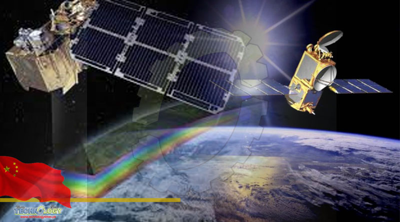
US Space tracking data reported that the two Tianhui-2 (02) satellites were launched into a near-polar orbit around 318 miles (511 kilometers) above the Earth by a Long March 4B rocket that lifted off from Taiyuan, north China.
Chinese state media said the pair were for “scientific experiments and research, land and resources surveying, and geographic surveying and mapping.”
A paper published in the Journal of Surveying and Mapping states that the Tianhui-2 satellite remote sensing capabilities is China’s first microwave surveying and mapping satellite system that will be effective in boosting country’s up to date .
The two satellites remote sensing will orbit in formation, mapping the Earth so that their respective data can be combined to create 3D maps with a resolution of around 9.8 feet (3 meters). The paper also compares the system to the German TanDEM-X and TerraSAR-X combination launched in 2010 and 2011 respectively.
Both the Tianhui-2 (02) satellites and the Long March 4B rocket were developed and manufactured by the Shanghai Academy of Spaceflight Technology (SAST), a major subsidiary of China’s giant state-owned main space and defense contractor, the China Aerospace Science and Technology Corporation (CASC).
A previous pair of Tianhui-2 satellites (01 group) were launched in April 2019 and were likewise described as for scientific experiments, land resource survey, geographic survey and mapping.
A new space station cargo mission, Tianzhou 3, is being prepared for launch in mid-September to provide supplies ahead of the Shenzhou 13 mission in October. Private and commercial companies are also planning their own launches
www.technologytimes.pk


