NASA Smoke Signals for Air Quality
NASA Smoke Signals for Air QualityThe U.S. Forest Service now has a powerful way to view near-real time fire detection…
0 Comments
October 16, 2021

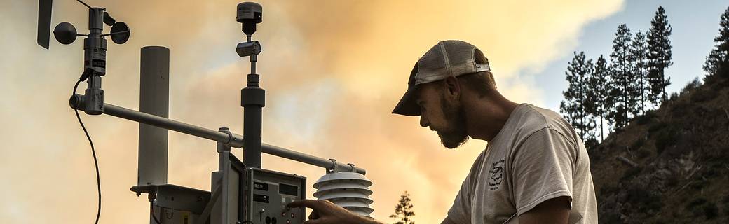
NASA Smoke Signals for Air QualityThe U.S. Forest Service now has a powerful way to view near-real time fire detection…
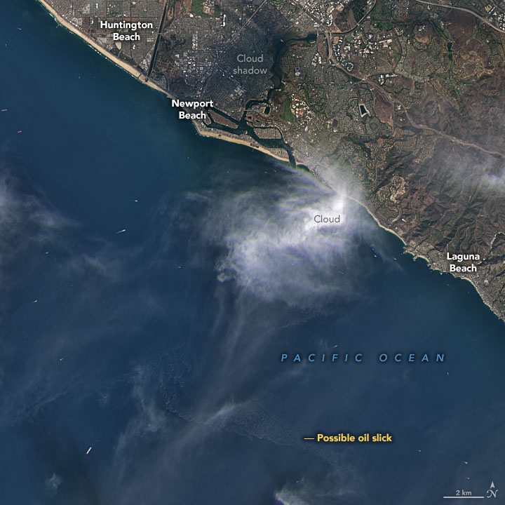
Satellites View California Oil SpillWhen oil leaks or spills into the ocean, the water surface changes. That may seem obvious…
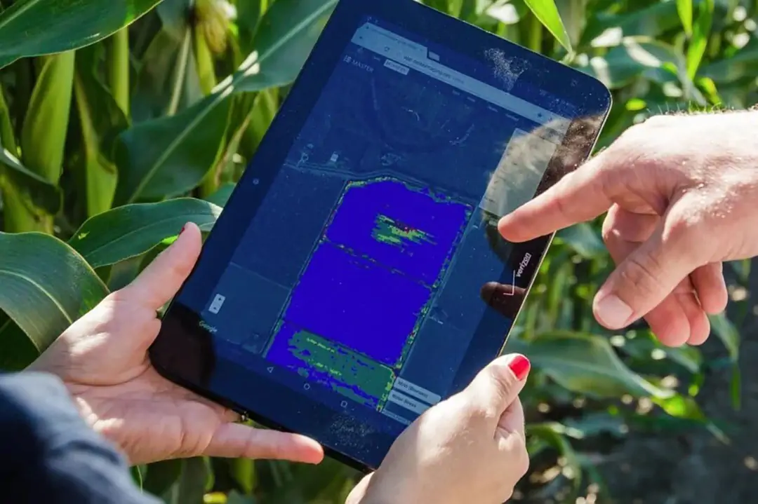
Ceres raises $ 23M to develop AI applications for irrigationCeres Imaging has raised $ 23 million in Series C funding. The investment…
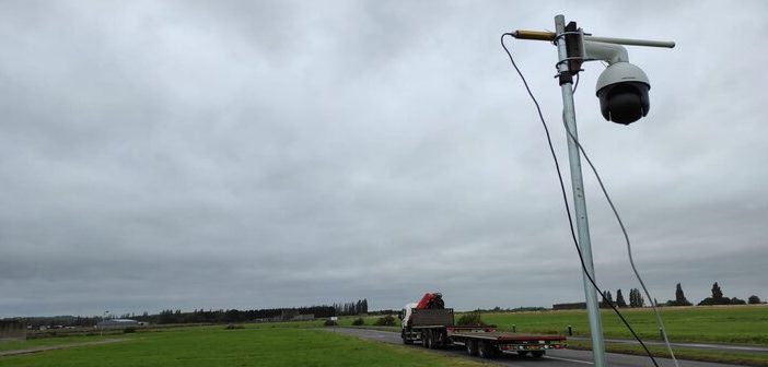
ITS Equant consortium completes successful satellite connectivity traffic management test | Traffic Technology TodayThe ITS Equant consortium, which aims to…

Using GIS and remote sensing in health & humanitarian programs | UW Department of Electrical & Computer EngineeringAbstract This presentation…
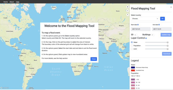
New UN tool maps floods since 1985 to street level, will aid disaster planning, especially in Global SouthUN University-led experts…

Hurricane SamForecasters call for Hurricane Sam, a potent storm spinning over the Atlantic Ocean, to steer clear of land. But…
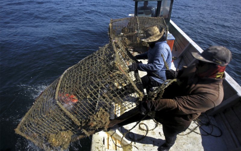
Remote sensing helping in padi planting and landing more fishPUTRAJAYA: Remote sensing technology is allowing fishermen to know the location…
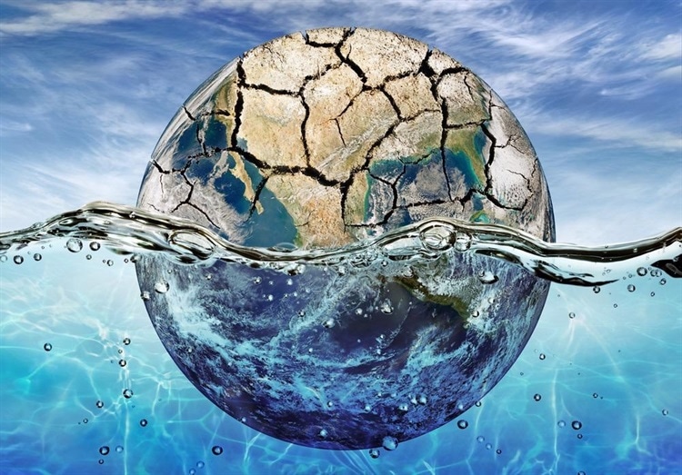
The Importance of Predicting Droughts and Flooding with Remote SensingClimate Change and Droughts The release of greenhouse gas (GHG) emissions…
USGS and the Republic of Peru Sign an Agreement for Remote Sensing Operations and Technological DevelopmentJoint cooperative project in scientific…